On July 26, 2021, IBIRC held the first FASTER pilot event in Hyogo Prefectural Disaster Management and Training Center in Miki City, Hyogo Prefecture, Japan.
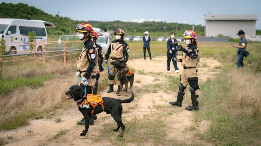
Tarumi Fire Station of Kobe City Fire Bureau, Japan Rescue Association (a civil canine trainers’ organization), and Sanda Chapter of Regional Revitalization & Disaster Prevention Useful Drone Promoters Association (a civil drone operators’ organization) participated in a total of 11 human professionals and 2 canines. In addition, a laboratory of Tohoku University participated as a provider of a cyber-enhanced canine suit.
From the IBIRC side, Professor Yuri Tijerino, his assistant, 5 graduate students, and 2 undergraduate students participated as staff members.
This pilot was divided into 3 scenarios. This pilot focused on search victims rather than rescue victims.
- Scenario 1 Rescue dog pilot: An earthquake occurred, and 2 people were buried in the debris: The first rescue dog, instructed by First Responder A, wears a cyber rescue dog suit developed by Tohoku University and searches for the location of the people in need of rescue. The second rescue dog instructed by First Responder B wears a cyber rescue dog suit developed by Tohoku University to search and confirm the victim’s location. The two operators used tablets to track the rescue dogs’ position and what was in front of the dog. They provided information to the handler and found people buried in the rubble. Finally, persons buried in the debris were found.
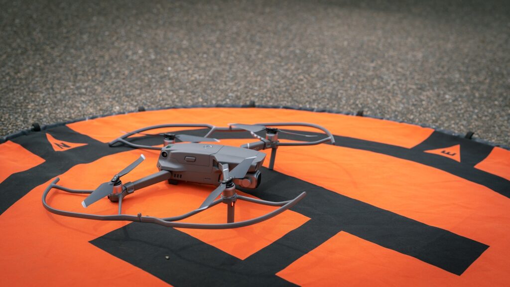
- Scenario 2-1 Field evaluation experiment: An earthquake occurred, and 5 people were buried in the debris: A drone flew over and showed the scene with a 2D mapping tool. The rescue team members have deployed 2 COP operators on a laptop PC and three workings on site. The rescue team member in charge of the COP gave detection instructions to the smartwatch of the rescue team member in the field. The rescue team, using smartwatches, was in charge of communicating the situation inside the rubble area to the outside rescue team through the use of gestures (MORSE tool). A rescue team member used the COP to determine details of the location of the rescue area on the screen (interface). Afterward, he gave details of the location of the debris to team members. Finally, persons buried in the debris were found.
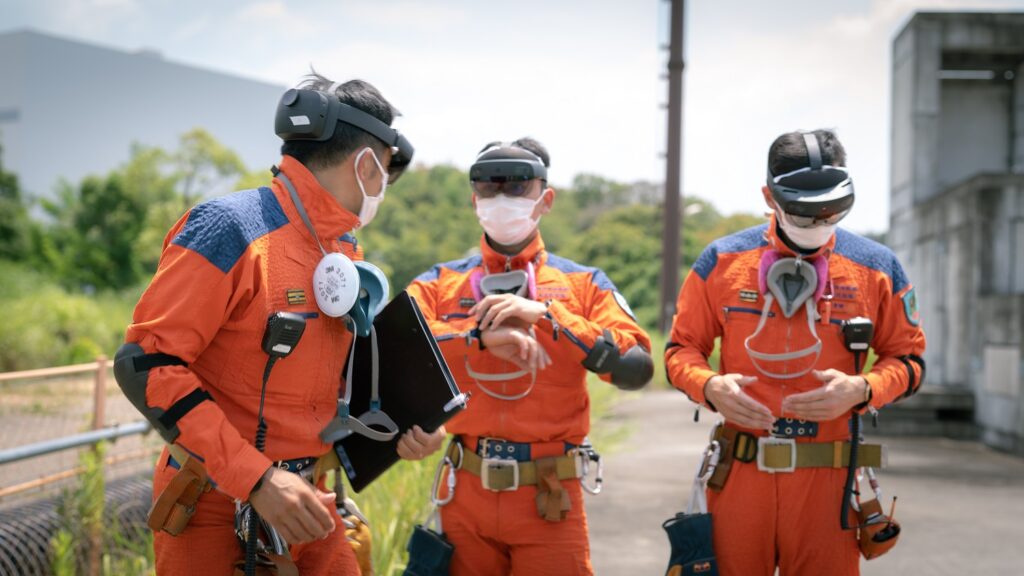
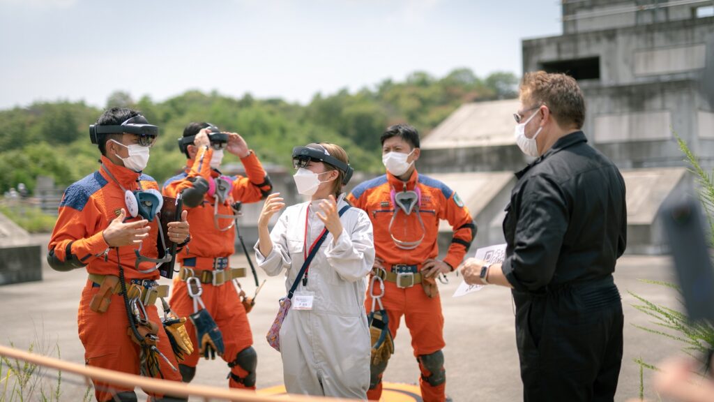
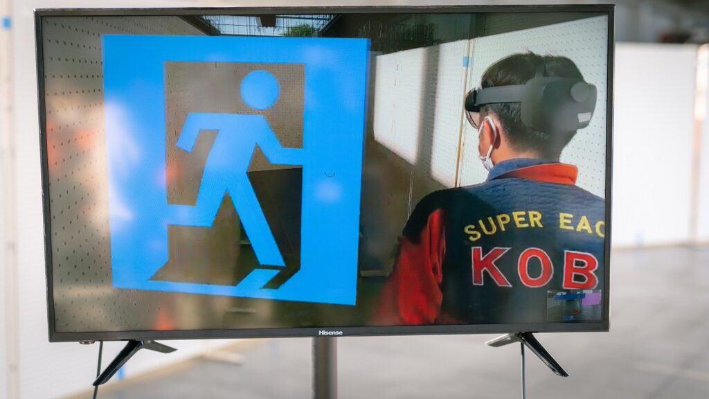
- Scenario 2-2 Indoor evaluation experiment: An earthquake-induced fire occurred, and 1 person went missing in the building: A drone was deployed and operated by rescue team members using gestures (UxV Gesture Control tool). As a result, a 2D map of the scene was obtained at the COP. The test and instruction took about 30 minutes.Two rescuers were dispatched to operate the COP on a laptop computer, and three rescuers carried out the field. The markers were placed on the 2D map. This map appeared on the COP and could be seen with the rescuers’ AR glasses. The rescue team member in charge of the COP (Prof. Tijerino) gave detection instructions to the smartwatch of the rescue team member in the field (MORSE). A rescue team member wearing AR glasses and a smartwatch enters the building and looks at the map displayed on the AR glasses while conducting detection. Finally, they found a person inside the building.
In this pilot, the heat and humidity caused some troubles to precision equipment; however, but we could gather some useful data for our Distributed Ledger Technology AIngle, developed by IBIRC, for improving opportunities for practical use.
We thank all international and local partners for their participation.
Two media outlets, SUN-TV (local television) and Kobe Shimbun (local newspaper) covered this pilot.
- Kobe Shimbun Miki Edition (July 27, 2021)
- SUN-TV (July 26, 2021)
This project is funded by EU Horizon 2020 and Japan Science and Technology Agency’s SICORP program.
FASTER H2020 Grant Number:833507 SICORP Grant Number: JPMJSC1811